
Poison Spider Road, Casper
Farther west of Casper, in the vicinity of Powder River, Wyoming, I passed a couple of antelope virtually on the road, so I pulled off at the same spot where a man driving a pickup-trailer also had pulled off. He wasn’t taking photos; he was adjusting something more securely on the trailer. As I pulled off, I noticed the Tumble Inn sign and pointed my camera there first, since the antelope had moved off some distance. The man walked over after a few moments and said, “That’s an iconic sign. Somebody should take it and preserve it.” I agreed that it would be a great shame if it were to be destroyed. He shared with me the information that the now-defunct (and derelict) Tumble Inn had at one time featured a topless dancer, and that men driving to and from this place, which is sited outside the regulatory reach of Casper (to the east) and Shoshoni (to the west), had occasionally met their demise thanks to drunk driving.
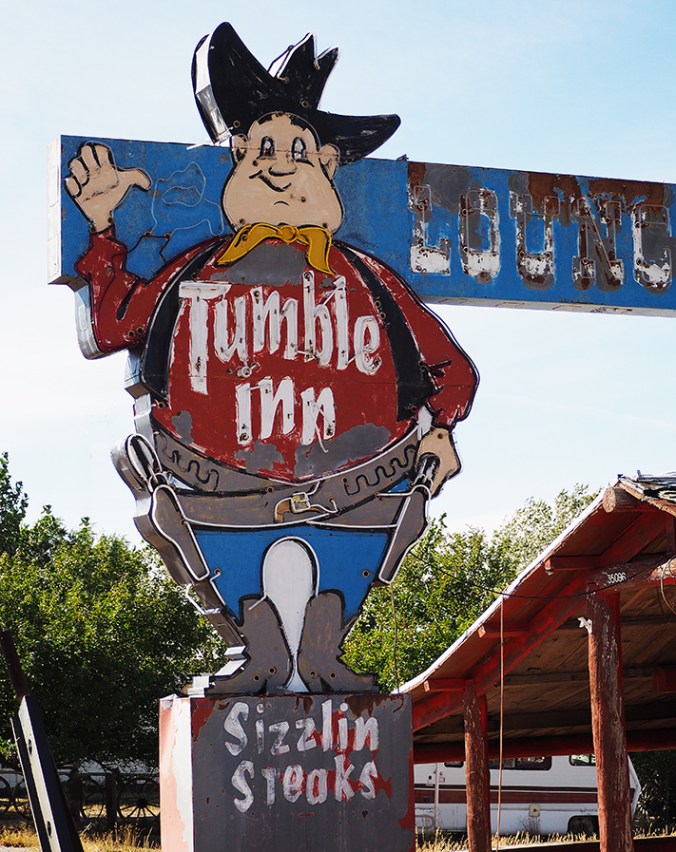
The defunct Tumble Inn, Powder River, Wyoming
The man reacted with dismay when he heard that I was headed to Yellowstone, which led to a conversation about the sheer numbers of park visitors and the crowded scenic drives in Colorado. “Everybody loves Colorado, but they’re going to love until they ruin it,” he said, and we speculated as to whether this had already happened. The man, who introduced himself as Gary and who was probably in his 60s, said that he was Arapaho, and that the traditional Arapaho territory was in the Loveland-Estes Park-Fort Collins area, where I now live. He himself had lived in Wyoming almost his whole life and owned a ranch near Riverton, on the Wind River Indian Reservation. His hair was tied back in a short, skinny ponytail that seemed unexpected given the rest of his haircut. He stuck out his hand when he introduced himself at the end of the conversation, saying “Maybe we’ll meet again down the road.” We didn’t, of course, but I would have liked talking to him more about his Wyoming.

Abandoned gas station, Powder River, Wyoming
At Shoshone U.S. Highway 20 turns north and eventually runs parallel to Wind River for several curving, beautiful miles. The traffic through Wind River Canyon is fast. I caught sight of a few signs marking geological time in the rocks exposed by the river. The first one I spotted said “Gros Ventre Formation — Cambrian.” The last one, “Chugwater Formation — Triassic,” indicated ochre-colored hills. In between I saw signs for Devonian- and Permian-age formations; there may have been others that I missed while zipping down the canyon with cars on my bumper, or while trying to find picture-taking sites. All told, the progression down the canyon covered more than 250 million years of geological time. I wished I had a miniature John McPhee, or a miniature geologist, on my shoulder to narrate details about the passage; it would be worth another trip to study the changes. Wikipedia says that the canyon was formed by tectonic shifts, not by river cutting.

The geology of Wyoming, or at least some of it, is the subject of McPhee’s excellent “Rising from the Plains,” one volume in his five-volume “Annals of the Former World.” McPhee, in consultation with geologist David Love of Laramie, reconstructs the geological events that led to Wyoming’s strange plethora of cross-cutting mountain ranges, many of which defy the dominant north-south trend of the Rockies. Despite having read this book three times, I can’t remember the particulars, but they can be summed up as “It’s complicated.” McPhee intercuts his story with tales of pioneer days, including fascinating excerpts from a journal kept by Love’s mother, who came to central Wyoming in 1905 as a frontier schoolteacher. I recommend both McPhee’s book and Annie Proulx’s “At Close Range: Wyoming Stories,” which jointly paint a picture of hardship and human extremes that parallel the extremes of the climate and the countryside here.

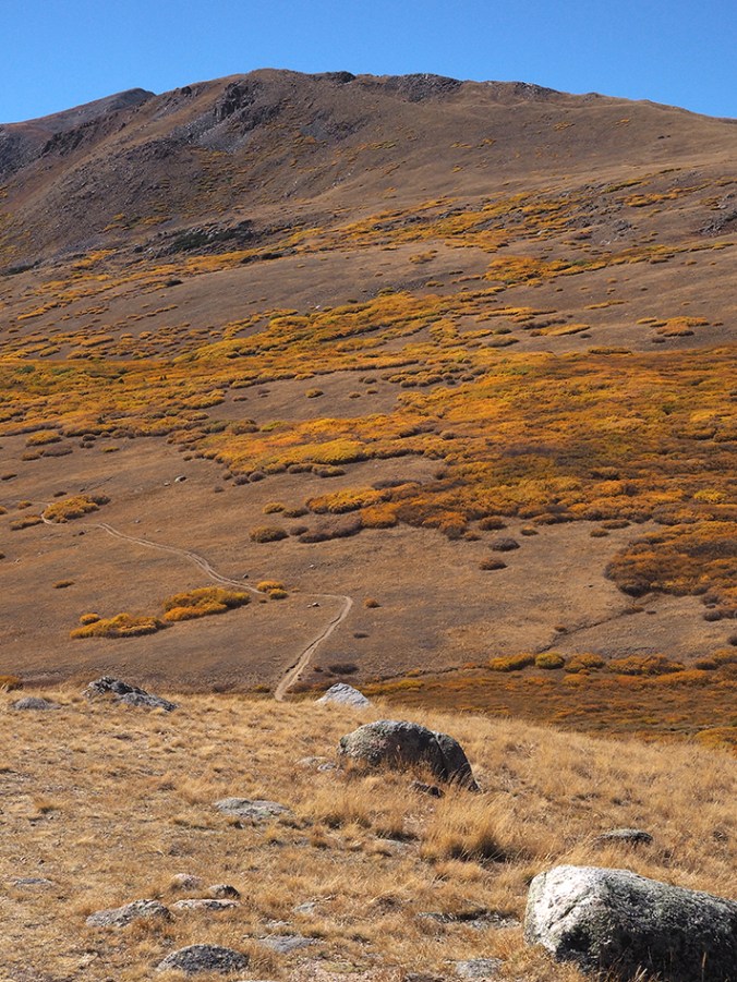
Igneous intrusions, Wind River Canyon


")