Pawnee National Grassland

Pawnee Buttes

Number 658

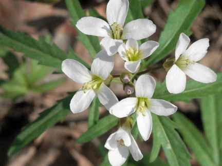
Prairie flower

Prickly pear

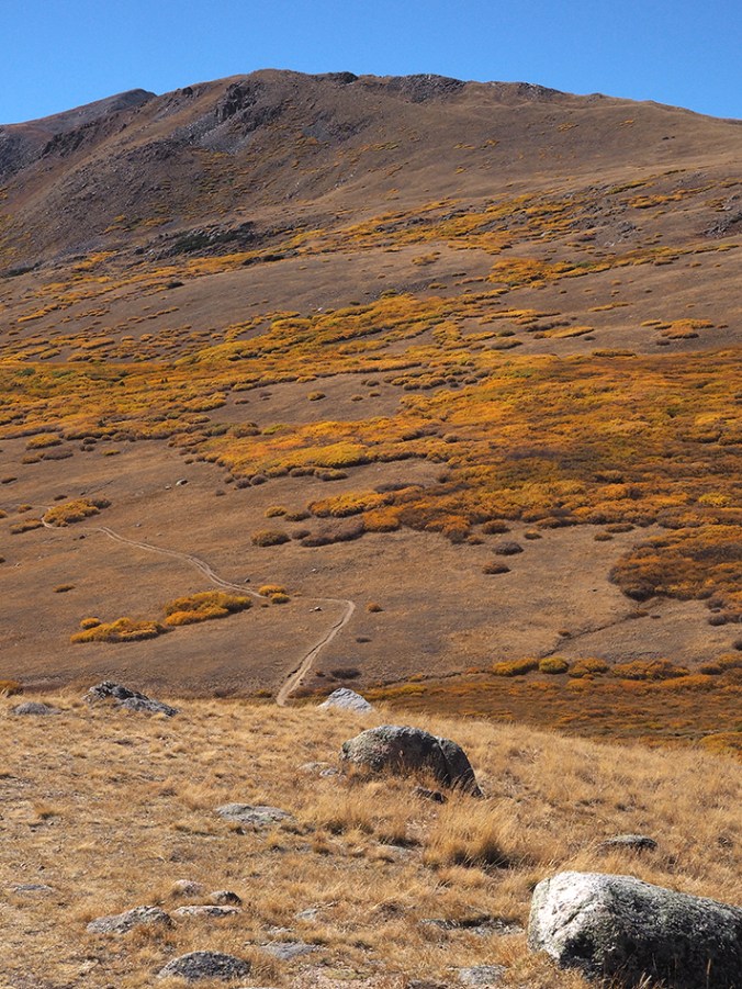
Pawnee Buttes trail

Custom road sign

Bottlecaps, Pawnee Station Café
Last week a friend and I drove out to Pawnee Buttes, in the Pawnee National Grassland. This is on the prairie in northeast Colorado, not far south of Wyoming and Nebraska. It was a warm but lovely day. The grassland is beautiful: lots of miles on dirt roads; beautiful undulating hills; and the isolated buttes themselves. The only downside is the sheer number of oil and gas facilities out here, along with the accompanying truck traffic. In a time when it’s imperative that we phase out fossil fuels, I was discouraged to see the amount of fracking and other fossil-fuel extraction on this, one of our national treasures.


")