Looking west over the Beartooth-Absaroka Mountains from Rock Vista Point
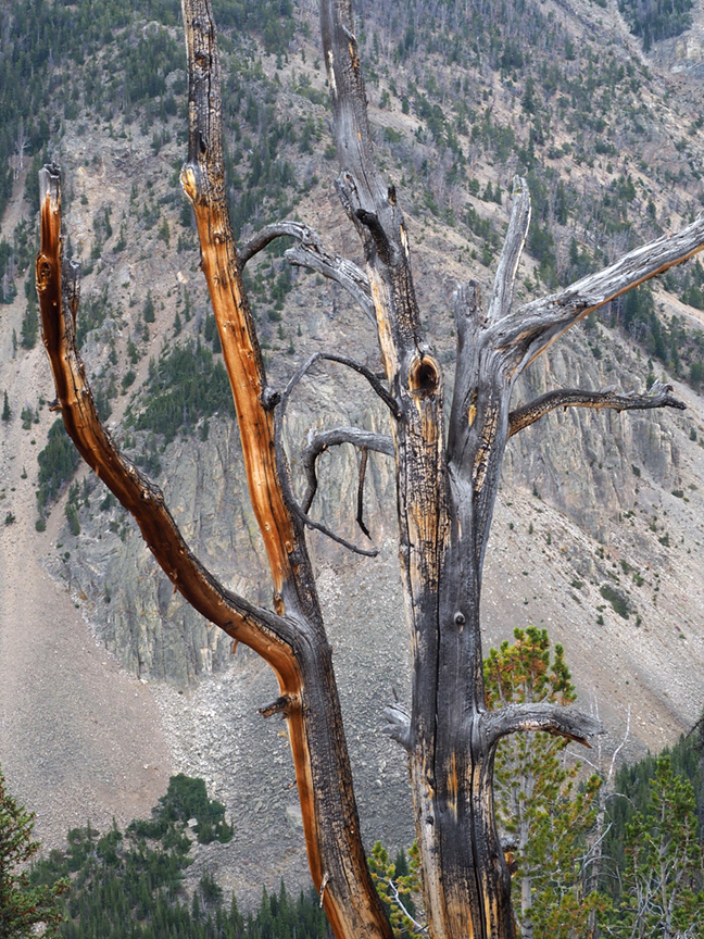
Tree against bare mountain slope
Picking my road trip back up where I left off: On Day 3 I took the Beartooth Scenic Byway from just southwest of Red Lodge, Montana, to Yellowstone. I’d heard how beautiful this route is, and even though the day was foggy, rainy, and finally snowy, what I’d heard was true. This is, according to Wikipedia, the highest-elevation road in Montana or Wyoming, and somewhere recently I read that the rocks exposed at Beartooth Pass (elevation 10,947 feet) are Pre-Cambrian, making them some of the oldest exposed anywhere in the lower 48 states. The drive is through glaciated terrain. Near the top of the pass is a large plateau with many small alpine lakes. It started snowing as I drove across the plateau, and at the pass itself the view was totally obscured. The wind was up and the temperature was down to 28 degrees, so I didn’t venture out of the car.

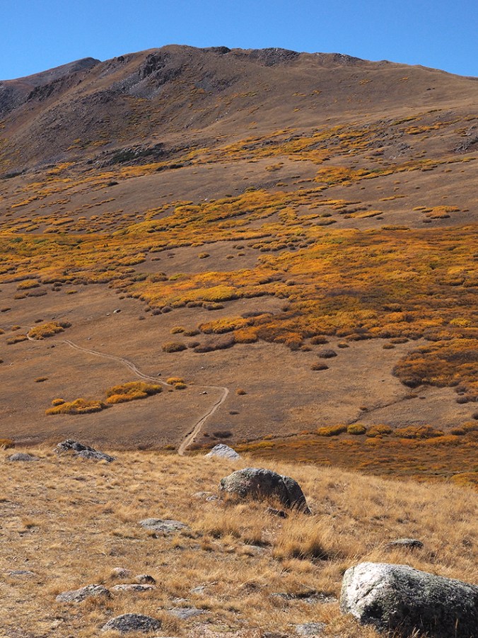
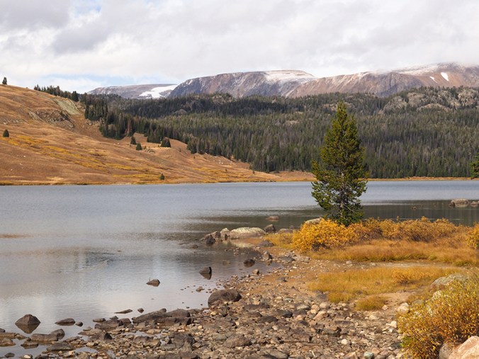
Plateau east of Beartooth Pass

Snow at Beartooth Pass
The weather gradually cleared as I descended the west side of the pass. Aspens, a waterfall, and distant peaks made this a beautiful drive. The highway, which begins in Montana and then dips down through Wyoming, curves back up to Montana and the small mountain town of Cooke City, where it was snowing. Heading out from Cooke City, you come to the northeast entrance of Yellowstone National Park.

Aspens west of Beartooth Pass
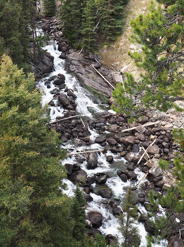
Waterfall west of Beartooth Pass
Lake west of Beartooth Pass
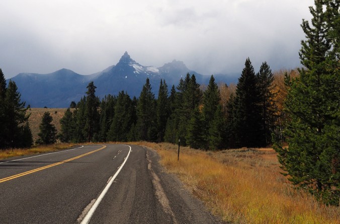
Pilot Peak
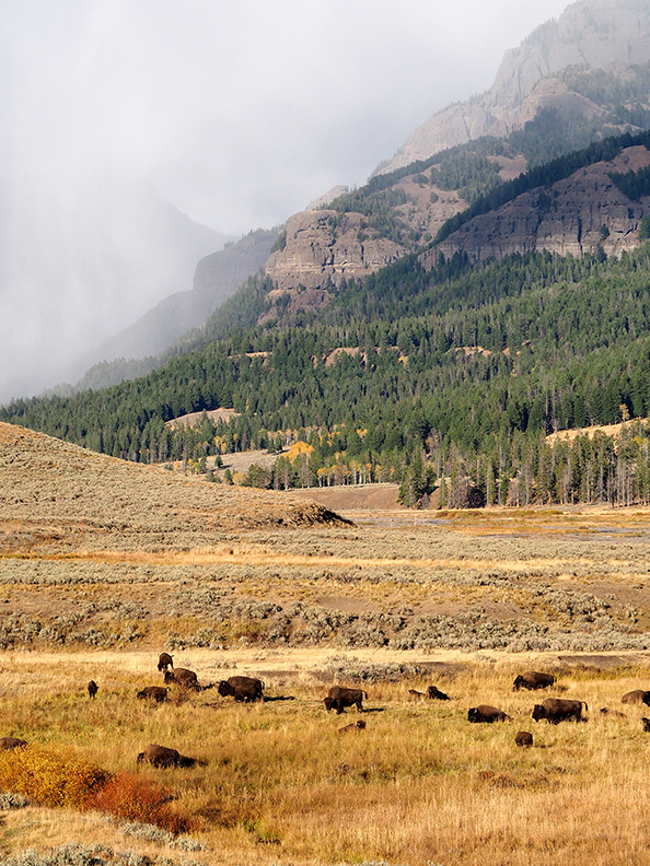
Almost as soon as I entered Yellowstone, I spotted two bison near the road. I was delighted. Well, little did I know that two bison were nothing compared to what was coming: whole herds! Buffaloes on the road, even. Buffaloes spread all across the Lamar Valley, where the snow had stopped, the sun had come out, and the meadows looked golden.

Buffalo closeup
Looking east from the Lamar Valley toward the Beartooth Mountains

Braided river in the Lamar Valley
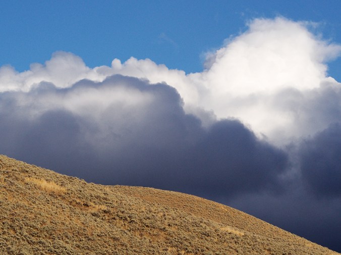
Cloud view to the southwest
As I got close to Mammoth Hot Springs, I could see steam rising from the far-off terraces. In town, elk were hanging out on the grounds of the local clinic. A couple of weeks earlier, a tourist had drawn the ire of a bull elk here and narrowly escaped injury. I parked at the clinic for a few minutes, where this bull elk was bugling and keeping his little harem pointed in the direction he felt was suitable. The sign in the clinic window, which I didn’t notice until I was looking at these photos, reads: “Elk present?!?! Use back door.” This elk certainly looked and sounded like he didn’t want to be trifled with, and I took this photo through the windshield. Tomorrow: Hot springs and geysers!

Bull elk, Mammoth Hot Springs